
NavIC Grand Challenge
The NavIC Grand Challenge is an initiative to encourage, promote, and nurture innovation that leverages the NavIC services and other allied indigenous geospatial offerings, and set India on a path towards domestic mapping and navigation capabilities.
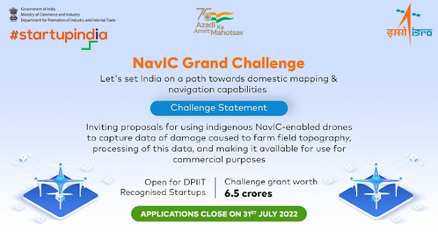
The NavIC Grand Challenge has been set up to invite ideas that use NavIC-enabled drones to capture data of damage caused to farm field topography, processing of this data, and making it available for commercial purposes.
Program Details / Eligibility Criteria:
The NavIC Grand Challenge would be open to DPIIT recognized Startups working in the areas indicated in the problem statements (we encourage startups to get recognised by DPIIT and apply for the challenge).
All novel approaches will be considered, but the proposed solution must be flexible, easily deployable, affordable, and scalable.
Relevant Stakeholder:
Ideation Stage Startup
Validation Stage Startup
Early Traction Startup
Scaling Stage Startup
Themes for Challenges:
Drones
Agriculture
SpaceTech
Data Collection and Analysis
Image Processing
Artificial Intelligence.
Other detail can be seen here https://www.startupindia.gov.in/content/sih/en/ams-application/challenge.html?applicationId=62566a33e4b00f07df34a25e
Stay tuned.


